File:2024L51.180z128444earth.jpg
Original file (1,680 × 900 pixels, file size: 387 KB, MIME type: image/jpeg)
Summary
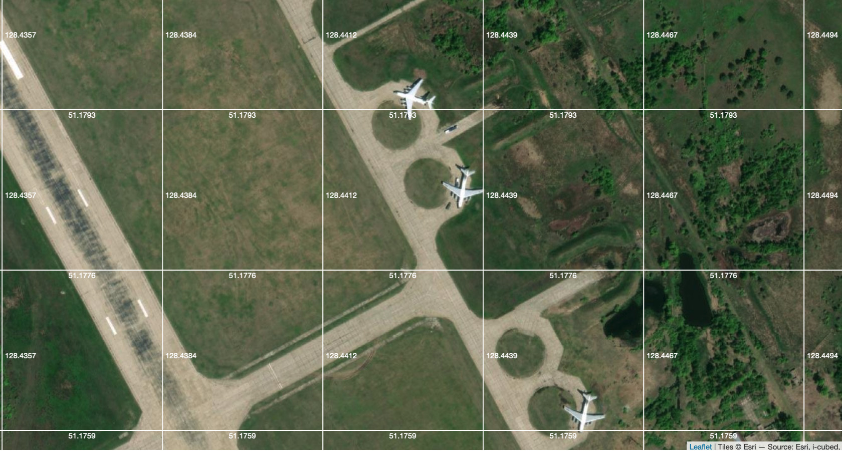
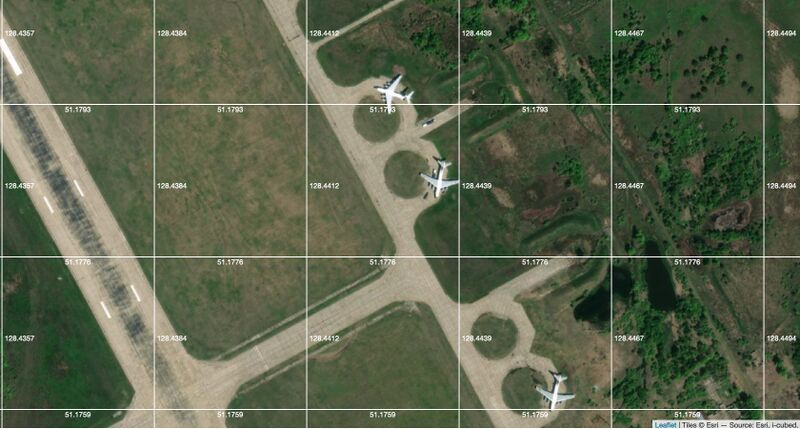
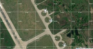
Подготовка тяжелых самолётов возле капониров на Авиабазе Украинка (Ukrainka Airbase),
Screenshot made 2024.06.25 from site https://earthexplorer.usgs.gov
Координаты: 51.179, 128.444
References
Keywords
«Annexation of Crumea», «Budapest memorandum», «Moscovia», «[[]]», «Putin world war», «Russia-Ukraine war», «Russki mir», «Transfer of hostilities to aggressor territory», «UkrainkaAirbase», «[[]]»,
«А нас то за что», «Авиабаза Украинка», «Будапештский меморандум», «Демилитаризация и денацификация», «Зелёный Клин», «Московия», «Паханат», «Перенос боевых действий на территорию страны агрессора», «Путинская мировая война», «Российское вторжение в Украину», «Русский мир», «Спецоперация», «[[]]»,
File history
Click on a date/time to view the file as it appeared at that time.
| Date/Time | Thumbnail | Dimensions | User | Comment | |
|---|---|---|---|---|---|
| current | 13:23, 28 February 2025 | | 1,680 × 900 (387 KB) | T (talk | contribs) | {{oq|2024L51.180z128444earth.jpg|}} Подготовка тяжелых самолётов возле капониров на Авиабазе Украинка (Ukrainka Airbase), Screenshot made 2024.06.25 from site https://earthexplorer.usgs.gov Координаты: 51.179, 128.444 ==References== {{ref}} {{fer}} ==Keywords== «Annexation of Crumea», «Budapest memorandum», «Moscovia», «[[]]», «Putin world war», «Russia-Ukraine war», «Russki mir», «Transfer of hostilities to aggressor territory», «[[... |
You cannot overwrite this file.
File usage
The following page uses this file:
- Annexation of Crimea
- Budapest memorandum
- Demilitarization
- Denazification
- Designate Russia as state sponsor of terrorism
- Designate Russia as terrorist state
- Moscovia
- Putin world war
- Russian invasion into Ukraine
- Russki mir
- Target
- Transfer of hostilities to aggressor territory
- Ukrainka Airbase
- UkrainkaAirbase
- View