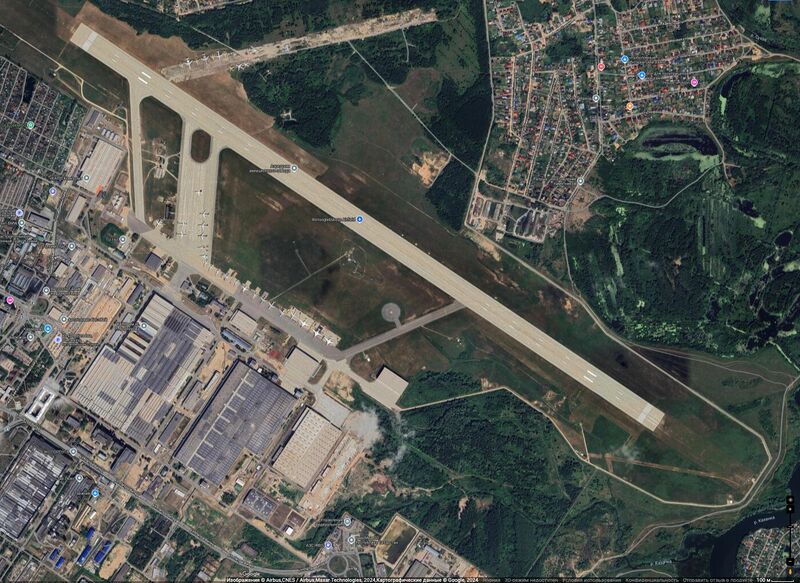
File:BorisoglebskoyeAirfieldMap2.jpg
Jump to navigation
Jump to search


Size of this preview: 800 × 583 pixels. Other resolutions: 320 × 233 pixels | 1,400 × 1,020 pixels.
Original file (1,400 × 1,020 pixels, file size: 355 KB, MIME type: image/jpeg)
Summary
Keywords
«Annexation of Crimea», «Borisoglebskoye Airfield», «[[]]», «Budapest memorandum», «[[]]», «Designate Russia as state sponsor of terrorism», «Designate Russia as state», «[[]]», «Kazan», «Kazan Airbase», «Moscovia», «Pahanat», «Putin world war», «Russian invasion into Ukraine», «Russki mir», «Transfer of hostilities to aggressor territory»,
File history
Click on a date/time to view the file as it appeared at that time.
| Date/Time | Thumbnail | Dimensions | User | Comment | |
|---|---|---|---|---|---|
| current | 00:15, 30 August 2024 |  | 1,400 × 1,020 (355 KB) | T (talk | contribs) | == Summary == {{oq|BorisoglebskoyeAirfieldMap2.jpg|1400x1020 1400x1020+0+0}} https://www.google.co.jp/maps/dir///@55.8637387,49.1239092,2729m/data=!3m1!1e3!4m2!4m1!3e2?hl=ru&entry=ttu&g_ep=EgoyMDI0MDgyMy4wIKXMDSoASAFQAw%3D%3D [[Borisoglebskoye Airfi... |
You cannot overwrite this file.
File usage
The following page uses this file: