File:MvdStavropolMapia01.jpg
Jump to navigation
Jump to search


Size of this preview: 800 × 377 pixels. Other resolutions: 320 × 151 pixels | 1,796 × 847 pixels.
Original file (1,796 × 847 pixels, file size: 96 KB, MIME type: image/jpeg)
Summary
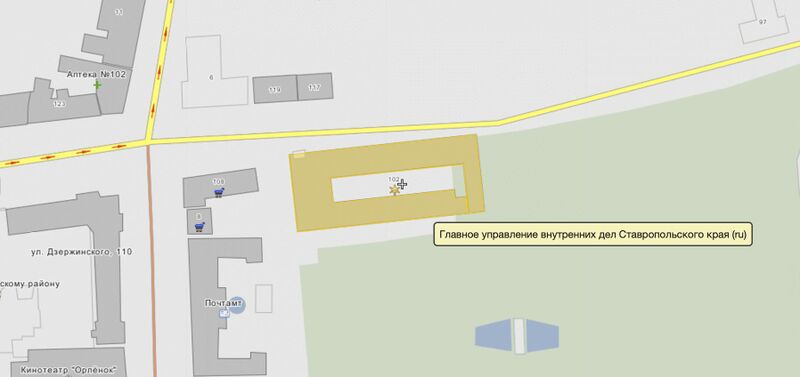
MVD po Stavropolskomu, Map by Wikimapia [1]
Coordinates:
45.04465, 41.97475
Address: Stavropol, Ulitsa Zserjinskogo, 102.
References
File history
Click on a date/time to view the file as it appeared at that time.
| Date/Time | Thumbnail | Dimensions | User | Comment | |
|---|---|---|---|---|---|
| current | 21:07, 28 July 2021 |  | 1,796 × 847 (96 KB) | T (talk | contribs) | MVD po Stavropolskomu, Map by Wikimapia <ref> https://wikimapia.org/#lang=ja&lat=45.044654&lon=41.974753&z=18&m=w&show=/street/1135061/ulitsa-Dzerzhinskogo&search=45.04466%2C%2041.97466 </ref> Coordinates: 45.04465, 41.97475 Address: Stavro... |
You cannot overwrite this file.
File usage
The following 3 pages use this file: