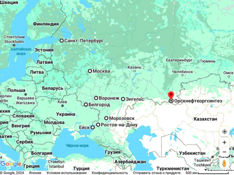
File:OrsknefteorgsintezMap20.png
Jump to navigation
Jump to search


Size of this preview: 800 × 597 pixels. Other resolutions: 320 × 239 pixels | 1,200 × 896 pixels.
Original file (1,200 × 896 pixels, file size: 168 KB, MIME type: image/png)
Summary
- ↑ https://www.google.com/maps/place/Ленинский+р-н,+Орск,+Оренбургская+обл.,+Россия/@51.2493824,58.5169172,1906m/data=!3m1!1e3!4m12!1m5!3m4!2zNTHCsDE0JzQ2LjQiTiA1OMKwMzEnMTQuMyJF!8m2!3d51.24623!4d58.52063!3m5!1s0x417ffe84aefeab6d:0xca5b78d1add2e3de!8m2!3d51.2661205!4d58.5612331!16s%2Fg%2F11fx8wjc8k?hl=ru&entry=ttu Орскнефтеоргсинтез, ул. Гончарова, 1 а, Орск, Оренбургская обл., Россия, 462407
Keywords
«Орк», «Орск», «Орскнефтеоргсинтез», «Перенос боевых действий на территорию страны агрессора», «Путинская мировая война», «Спецоперация»,
File history
Click on a date/time to view the file as it appeared at that time.
| Date/Time | Thumbnail | Dimensions | User | Comment | |
|---|---|---|---|---|---|
| current | 16:08, 9 April 2024 |  | 1,200 × 896 (168 KB) | T (talk | contribs) | {{oq|OrsknefteorgsintezMap20.png|}} Orsknefteorgsintez (Орскнефтеоргсинтез) at the Google nap<ref> <small> https://www.google.com/maps/place/Ленинский+р-н,+Орск,+Оренбургская+обл.,+Россия/@... |
You cannot overwrite this file.
File usage
The following page uses this file: