File:SeverakiBridgeMap0.jpg
Jump to navigation
Jump to search

Size of this preview: 800 × 445 pixels. Other resolutions: 320 × 178 pixels | 1,763 × 980 pixels.
Original file (1,763 × 980 pixels, file size: 455 KB, MIME type: image/jpeg)
Summary
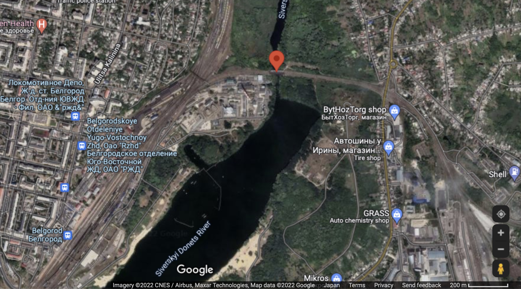
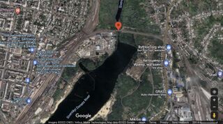
Belgorod railroad station, river Severski Donets and Severski bridge on the local; railroad to Ukraine.
Map by Goode[1]
References
File history
Click on a date/time to view the file as it appeared at that time.
| Date/Time | Thumbnail | Dimensions | User | Comment | |
|---|---|---|---|---|---|
| current | 01:40, 17 April 2022 | | 1,763 × 980 (455 KB) | T (talk | contribs) | Belgorod railroad station, river Severski Donets and Severski bridge on the local; railroad to Ukraine. Map by Goode<ref> https://www.google.com/maps/@50.418232,36.9198817,247m/data=!3m1!1e3 </ref> ==References== <references/> [[Category... |
You cannot overwrite this file.
File usage
The following page uses this file: