File:UkrainkaArsenalRoadViewEast.jpg
Original file (1,920 × 600 pixels, file size: 144 KB, MIME type: image/jpeg)
Summary
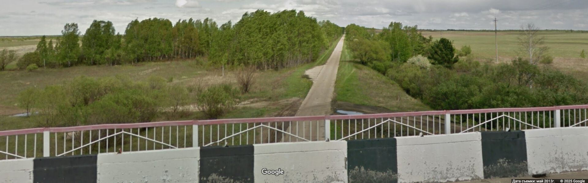
Road to UkrainkaArsenal (Арсенал Украинка) from UkrainkaAirbase (Авиабаза Украинка).
View by Google[1]
Coordinates: 51.16074, 128.53120
view East from the bridge at road Р-297 for 2013 May.
Original description
Ukrainka Air Base Амурская область, Россия
Р-297
Амурская обл.
Google Просмотр улиц
май 2013 г.
References
- ↑ https://www.google.co.jp/maps/@51.1607362,128.5312709,3a,37.1y,57.88h,90.78t/data=!3m7!1e1!3m5!1sqsq1kb0qm34J2WEg9m5_YA!2e0!6shttps:%2F%2Fstreetviewpixels-pa.googleapis.com%2Fv1%2Fthumbnail%3Fcb_client%3Dmaps_sv.tactile%26w%3D900%26h%3D600%26pitch%3D-0.7847478623819768%26panoid%3Dqsq1kb0qm34J2WEg9m5_YA%26yaw%3D57.8837946893097!7i13312!8i6656?hl=ru&entry=ttu&g_ep=EgoyMDI1MDIxOS4xIKXMDSoASAFQAw%3D%3D Ukrainka Air Base Амурская область, Россия Р-297 Амурская обл. Google Просмотр улиц май 2013 г.
Keywords
«Annexation of Crimea», «Budapest memorandum», «Moscovia», «Putin world war», «Russian invasion into Ukraine», «Russia-Ukraine war», «Target», «Transfer of hostilities to aggressor territory», «UkrainkaAirbase», «UkrainkaArsenal»,
«А нас то за что», «Авиабаза Украинка», «Аннексия Крыма», «[[]]», «Арсенал Украинка», «Будапештский меморандум», «[[]]», «Московия», «Паханат», «[[]]», «Переноис боевых действий на территорию страны агрессора», «Путинская мировая война», «Российакое вторжение в Украину», «[[]]»,
File history
Click on a date/time to view the file as it appeared at that time.
| Date/Time | Thumbnail | Dimensions | User | Comment | |
|---|---|---|---|---|---|
| current | 15:49, 28 February 2025 | 1,920 × 600 (144 KB) | T (talk | contribs) | {{oq|UkrainkaArsenalRoadViewEast.jpg|}} Road to UkrainkaArsenal (Арсенал Украинка) from UkrainkaAirbase (Авиабаза Украинка). View by Google<ref><small> https://www.google.co.jp/maps/@51.1607362,128.5312709,3a,37.1y,57.88h,90.78t/data=!3m7!1e1!3m5!1sqsq1kb0qm34J2WEg9m5_YA!2e0!6shttps:%2F%2Fstreetviewpixels-pa.googleapis.com%2Fv1%2Fthumbnail%3Fcb_client%3Dmaps_sv.tactile%26w%3D900%26h%3D600%26pitch%3D-0.7847478623819768%26panoid%3Dqsq1kb0qm34J2WEg9m5_YA%26yaw%3D57.883794689309... |
You cannot overwrite this file.
File usage
The following page uses this file: