Difference between revisions of "File:ColonyKeygubskaya.jpg"
Jump to navigation
Jump to search
(Importing image file) |
|||
| Line 1: | Line 1: | ||
| + | Google map at Segezhsky District, Republic of Karelia, Russia, |
||
| − | Importing image file |
||
| + | |||
| + | 63.77492, 34.29728 |
||
| + | |||
| + | ==References== |
||
| + | <references/> |
||
| + | https://www.google.com/maps/dir///@63.7751652,34.2950426,891m/data=!3m1!1e3 |
||
| + | |||
| + | [[Category:Corruption]] |
||
| + | [[Category:Gulag]] |
||
| + | [[Category:Karelia]] |
||
| + | [[Category:Map]] |
||
| + | [[Category:Russia]] |
||
| + | [[Category:Sadism]] |
||
| + | [[Category:Sergei Kossiev]] |
||
| + | [[Category:Terror]] |
||
Latest revision as of 08:32, 1 December 2018
Google map at Segezhsky District, Republic of Karelia, Russia,
63.77492, 34.29728
References
https://www.google.com/maps/dir///@63.7751652,34.2950426,891m/data=!3m1!1e3
File history
Click on a date/time to view the file as it appeared at that time.
| Date/Time | Thumbnail | Dimensions | User | Comment | |
|---|---|---|---|---|---|
| current | 06:11, 1 December 2018 | 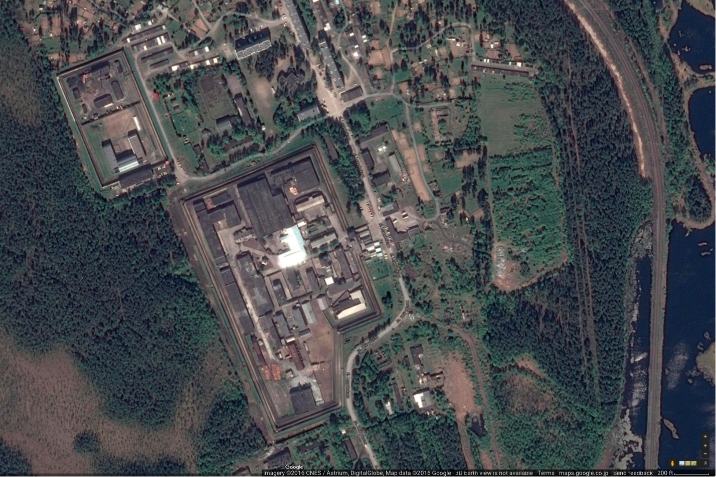 | 1,428 × 953 (525 KB) | Maintenance script (talk | contribs) | Importing image file |
You cannot overwrite this file.
File usage
The following page uses this file: