Difference between revisions of "File:OzerskMap1.jpg"
Jump to navigation
Jump to search
(Importing image file) |
|||
| Line 1: | Line 1: | ||
| + | Google map of [[Ozersk]] ([[Озёрск]]) |
||
| − | Importing image file |
||
| + | Ozersk, Chelyabinsk Oblast, Russia |
||
| + | 55.75480, 60.70809 |
||
| + | |||
| + | https://www.google.com/maps/place/Ozersk,+Chelyabinsk+Oblast,+Russia/@55.7209735,60.4718813,48378m/data=!3m1!1e3!4m5!3m4!1s0x43c43812724ee44b:0x98771dbade92f530!8m2!3d55.71381!4d60.7009592 |
||
| + | |||
| + | ==References== |
||
| + | <references/> |
||
| + | |||
| + | [[Category:Map]] |
||
| + | [[Category:Nuclear disaster]] |
||
| + | [[Category:Russia]] |
||
| + | [[Category:USSR]] |
||
Latest revision as of 08:45, 1 December 2018
File history
Click on a date/time to view the file as it appeared at that time.
| Date/Time | Thumbnail | Dimensions | User | Comment | |
|---|---|---|---|---|---|
| current | 06:13, 1 December 2018 | 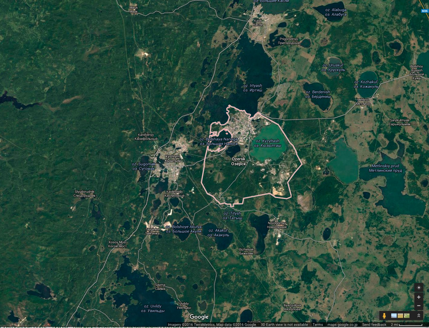 | 1,408 × 1,078 (629 KB) | Maintenance script (talk | contribs) | Importing image file |
You cannot overwrite this file.
File usage
The following page uses this file: