Difference between revisions of "File:Znamenka19.jpg"
Jump to navigation
Jump to search
(Importing image file) |
|||
| Line 1: | Line 1: | ||
| + | Aerial view of the Russian ministry of Defence, Znamenka 18. |
||
| − | Importing image file |
||
| + | |||
| + | Coordinates: |
||
| + | 55.7498, 37.6026 |
||
| + | |||
| + | (55°44'59"N 37°36'09"E) |
||
| + | |||
| + | Source: https://www.google.co.jp/maps/place/55°44'59.3%22N+37°36'09.4%22E |
||
| + | |||
| + | [[Category:Map]] |
||
| + | [[Category:Dmitrii Kiselev]] |
||
| + | [[Category:Putin world war]] |
||
| + | [[Category:Radioactive ache]] |
||
| + | [[Category:Russia]] |
||
| + | [[Category:Russian invasion into Georgia]] |
||
| + | [[Category:Russian invasion into Ukraine]] |
||
| + | [[Category:Vladimir Putin]] |
||
Latest revision as of 08:57, 1 December 2018
Aerial view of the Russian ministry of Defence, Znamenka 18.
Coordinates: 55.7498, 37.6026
(55°44'59"N 37°36'09"E)
Source: https://www.google.co.jp/maps/place/55°44'59.3%22N+37°36'09.4%22E
File history
Click on a date/time to view the file as it appeared at that time.
| Date/Time | Thumbnail | Dimensions | User | Comment | |
|---|---|---|---|---|---|
| current | 06:14, 1 December 2018 | 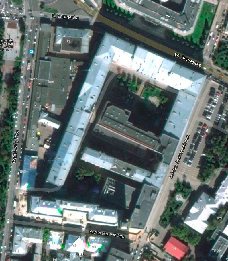 | 796 × 911 (134 KB) | Maintenance script (talk | contribs) | Importing image file |
You cannot overwrite this file.
File usage
There are no pages that use this file.