Difference between revisions of "File:LopNurCrossMap.jpg"
Jump to navigation
Jump to search
| Line 1: | Line 1: | ||
| + | Lop Nur Above ground test area, map from 2020.05.25 |
||
| + | <ref> |
||
| + | https://satellites.pro/China_map#40.78668,89.72624,19 |
||
| + | </ref> |
||
| + | Coordinates: 40.78668,89.72624 |
||
| + | |||
| + | Diameter of the dashes circle at the ground is approximately 300 meter. |
||
| + | |||
| + | ==References== |
||
| + | <references/> |
||
| + | |||
| + | [[Category:China]] |
||
| + | [[Category:Jistory]] |
||
| + | [[Category:Map]] |
||
| + | [[Category:Nuclear weapon]] |
||
Latest revision as of 07:17, 25 May 2020
Lop Nur Above ground test area, map from 2020.05.25 [1] Coordinates: 40.78668,89.72624
Diameter of the dashes circle at the ground is approximately 300 meter.
References
File history
Click on a date/time to view the file as it appeared at that time.
| Date/Time | Thumbnail | Dimensions | User | Comment | |
|---|---|---|---|---|---|
| current | 07:16, 25 May 2020 | 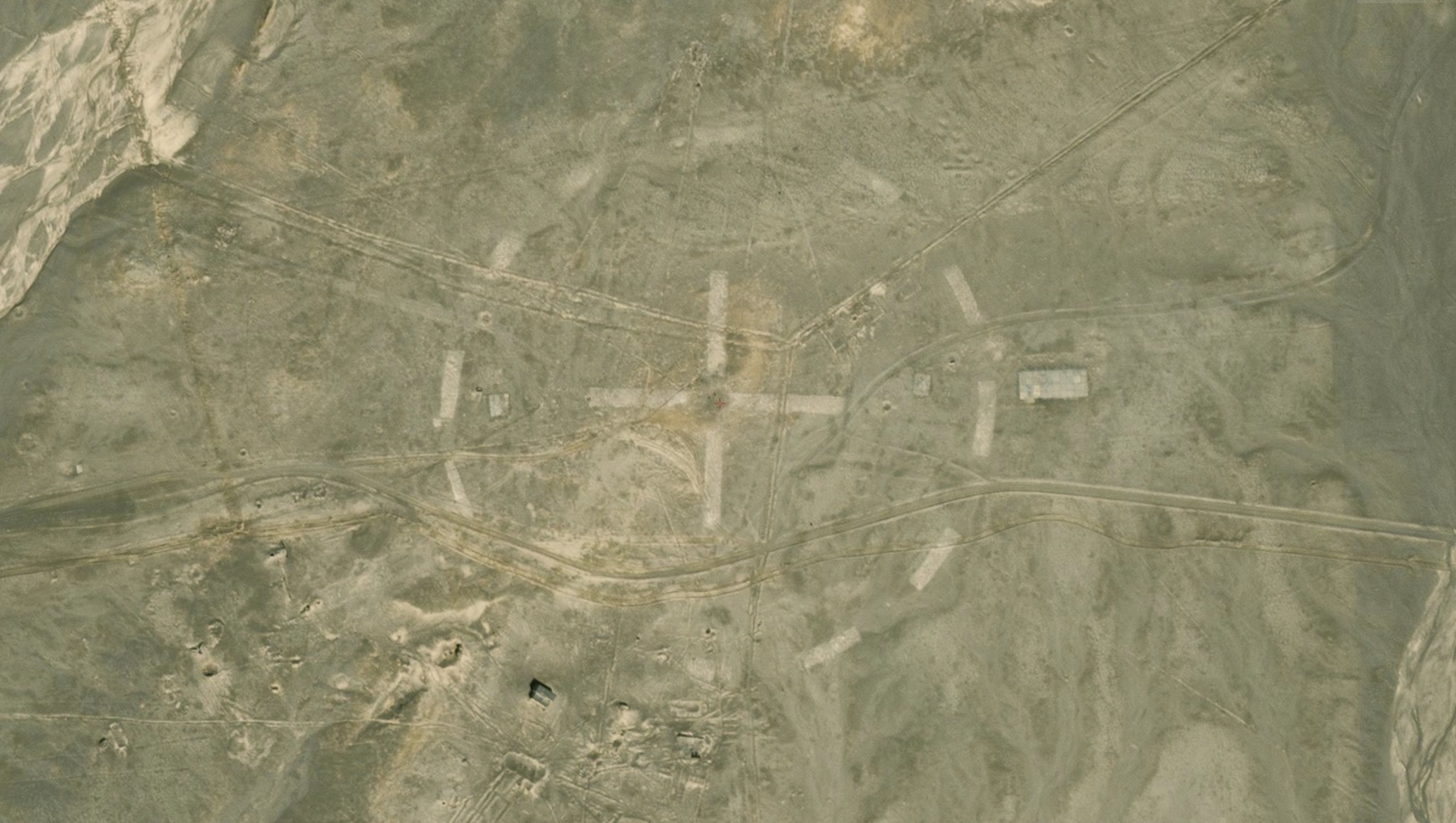 | 1,897 × 1,072 (436 KB) | T (talk | contribs) |
You cannot overwrite this file.
File usage
The following page uses this file: