File:Yakiyama01map.jpg
Revision as of 09:40, 21 June 2013 by Maintenance script (talk | contribs)
Size of this preview: 800 × 502 pixels. Other resolutions: 320 × 201 pixels | 1,895 × 1,190 pixels.
Original file (1,895 × 1,190 pixels, file size: 234 KB, MIME type: image/jpeg)
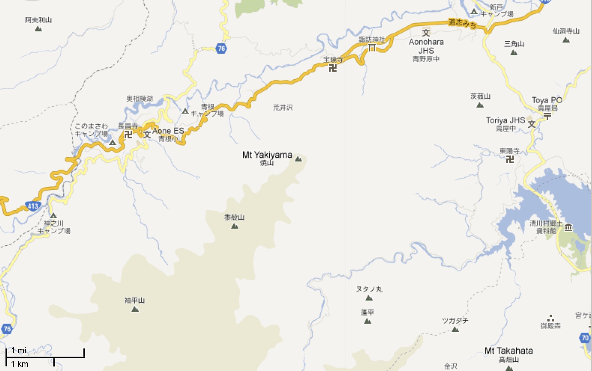
Map of Yakiyama mount (35.539 N,139.164 E) and vicinity by Google, http://maps.google.com/?ll=35.591017,139.196091&spn=0.050952,0.070381&t=m&z=13&vpsrc=6
http://maps.google.com/?ll=35.551223,139.185448&spn=0.101954,0.140762&t=m&vpsrc=6&z=12
File history
Click on a date/time to view the file as it appeared at that time.
| Date/Time | Thumbnail | Dimensions | User | Comment | |
|---|---|---|---|---|---|
| current | 17:50, 20 June 2013 | | 1,895 × 1,190 (234 KB) | Maintenance script (talk | contribs) | Importing image file |
You cannot overwrite this file.
File usage
There are no pages that use this file.