File:MapGlagoleva5.1.22.jpg
Revision as of 08:42, 1 December 2018 by Maintenance script (talk | contribs)
Size of this preview: 800 × 584 pixels. Other resolutions: 320 × 234 pixels | 1,294 × 945 pixels.
Original file (1,294 × 945 pixels, file size: 436 KB, MIME type: image/jpeg)
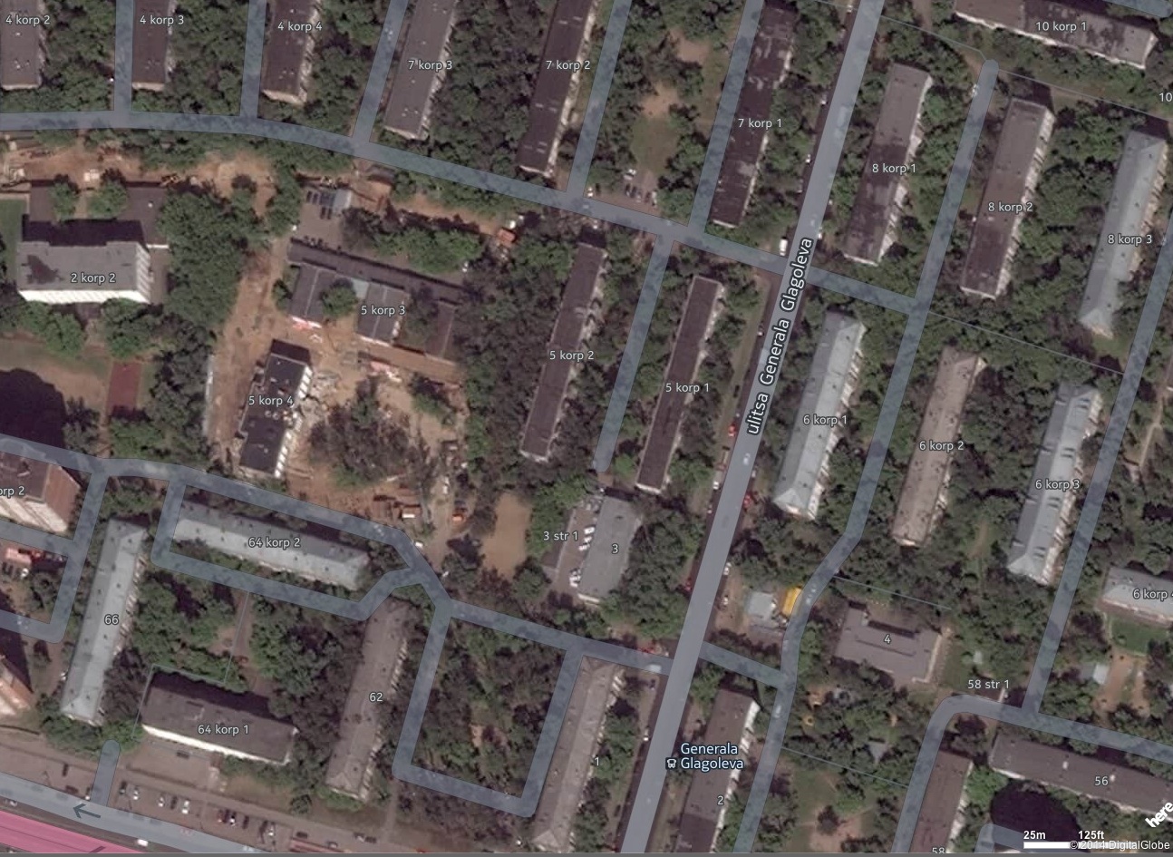
Map of region of Moscow near river Moskva, centred at 55.780, 37.46064
File history
Click on a date/time to view the file as it appeared at that time.
| Date/Time | Thumbnail | Dimensions | User | Comment | |
|---|---|---|---|---|---|
| current | 06:13, 1 December 2018 | | 1,294 × 945 (436 KB) | Maintenance script (talk | contribs) | Importing image file |
You cannot overwrite this file.
File usage
The following page uses this file: