File:Vh54046bigucharMap.jpg
Revision as of 08:55, 1 December 2018 by Maintenance script (talk | contribs)
Size of this preview: 800 × 563 pixels. Other resolutions: 320 × 225 pixels | 1,562 × 1,100 pixels.
Original file (1,562 × 1,100 pixels, file size: 716 KB, MIME type: image/jpeg)
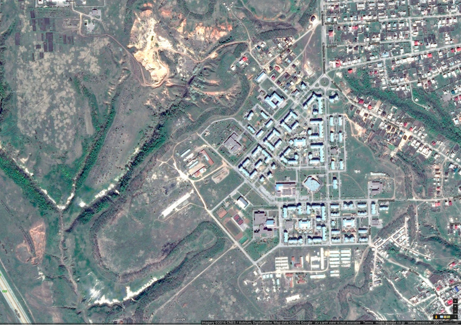
Google map of vicinity of point with coordinates 49.93905, 40.53303
References
File history
Click on a date/time to view the file as it appeared at that time.
| Date/Time | Thumbnail | Dimensions | User | Comment | |
|---|---|---|---|---|---|
| current | 06:14, 1 December 2018 | | 1,562 × 1,100 (716 KB) | Maintenance script (talk | contribs) | Importing image file |
You cannot overwrite this file.
File usage
The following page uses this file: